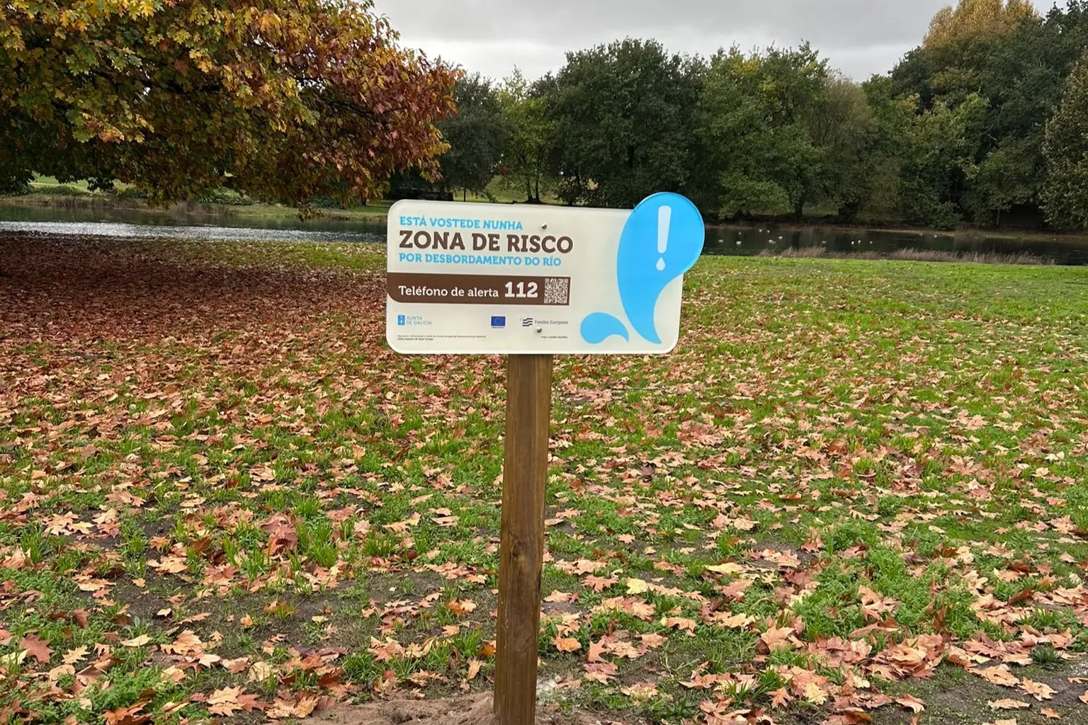
The objective of this signage is to raise public awareness about the dangers and implications associated with intense rainfall episodes, as well as about the preventive measures and recommended actions in case these rains occur in areas of significant potential flood risk (Arpsi).
As stated in the Flood Risk Management Plan (PXRI) of the Galicia-Costa Hydrographic Demarcation, the Arpsi Río Lameira belongs to group IV, which includes riverine areas with a higher probability of overflow.
The placement of these elements aims to improve public awareness of the natural dynamics of rivers and reinforce citizen safety and protection measures. This work is part of the strategic plan for disseminating information on areas of significant potential flood risk (Pedarpsi) and continues the installation of these panels in other sensitive areas of Galicia-Costa.
Augas de Galicia has already placed these types of indicators in 42 municipalities with high flood risk areas within their territory, including Gondomar, Ames, Brión, Sanxenxo, Vilagarcía de Arousa, Carballo, A Coruña, Baiona, Santiago de Compostela, Vigo, among others.
The hydraulic agency typically uses and combines different formats and types of signs in these areas, such as general signs, which include specific information about the area and the protocol for action in case of overflow, or children's signs, with aesthetics and language adapted to the target audience.
Furthermore, Augas de Galicia thus reinforces its commitment to preventing potential flooding, in close collaboration with local administrations and complying with the current PXRI until 2027.